The Goal
To conduct periodic monitoring of Belfast Bay throughout the summer months to document measurements of basic water quality parameters. The data will be collated and shared with various entities for comparison to other data and used to document changes from Climate Change.
What we test:
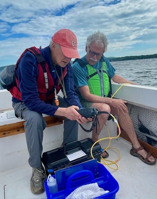
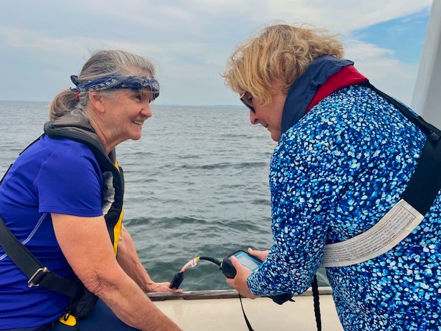
The current water quality parameters measured are:
1) Dissolved Oxygen (DO)
2) pH (acidity/alkalinity)
3) Conductivity (can indicate pollutants)
4) Salinity
5) Turbidity (water clarity)
6) Temperature
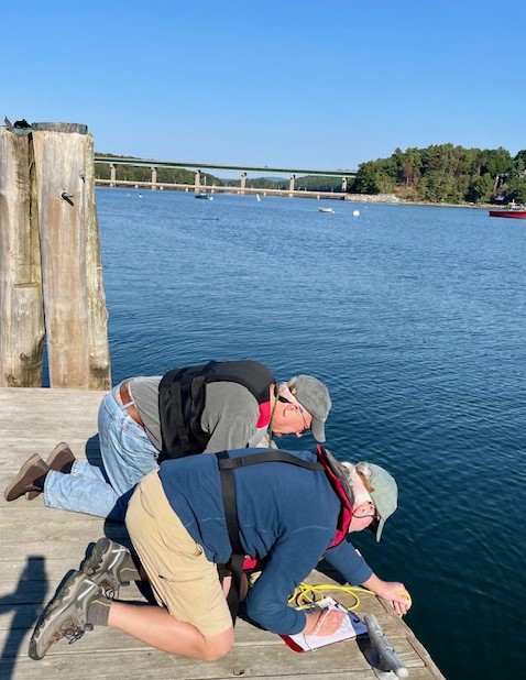
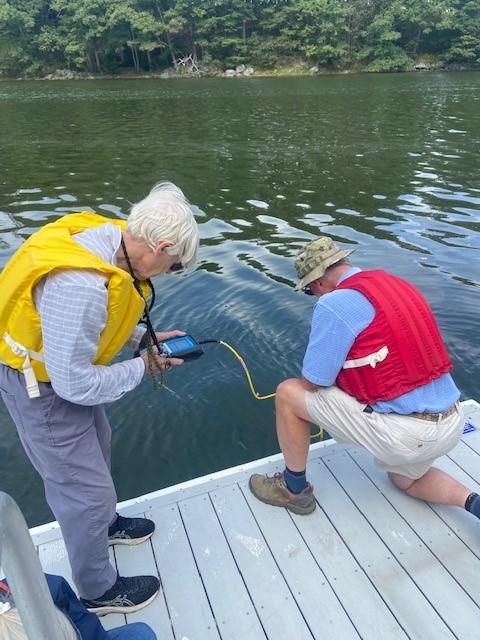
Water sampling locations
Sample sites include four onshore and four offshore locations in and aroundBelfast Bay. New sites will be added to include the western side of the Bay near Sears Island and upstream of the two rivers emptying into Belfast Bay during low tide.
Sampling Frequency
Samples are taken during high tide approximately every other week beginning the first week of June through the first week of October. Both onshore and offshore events occur each of those weeks.
Sampling Results
The results are entered into spreadsheets and a computer program by the Belfast High School’s Chemistry of the Ocean for sharing with various organizations and the public.
For more information or if you’re interested in joining the WQM Team, contact Joy Bowles (JoyL.Bowles@gmail.com).