MAPS and TRAIL GUIDES

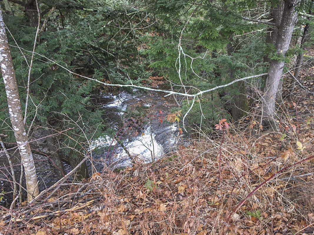
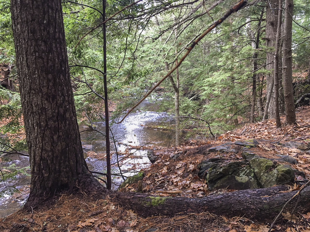
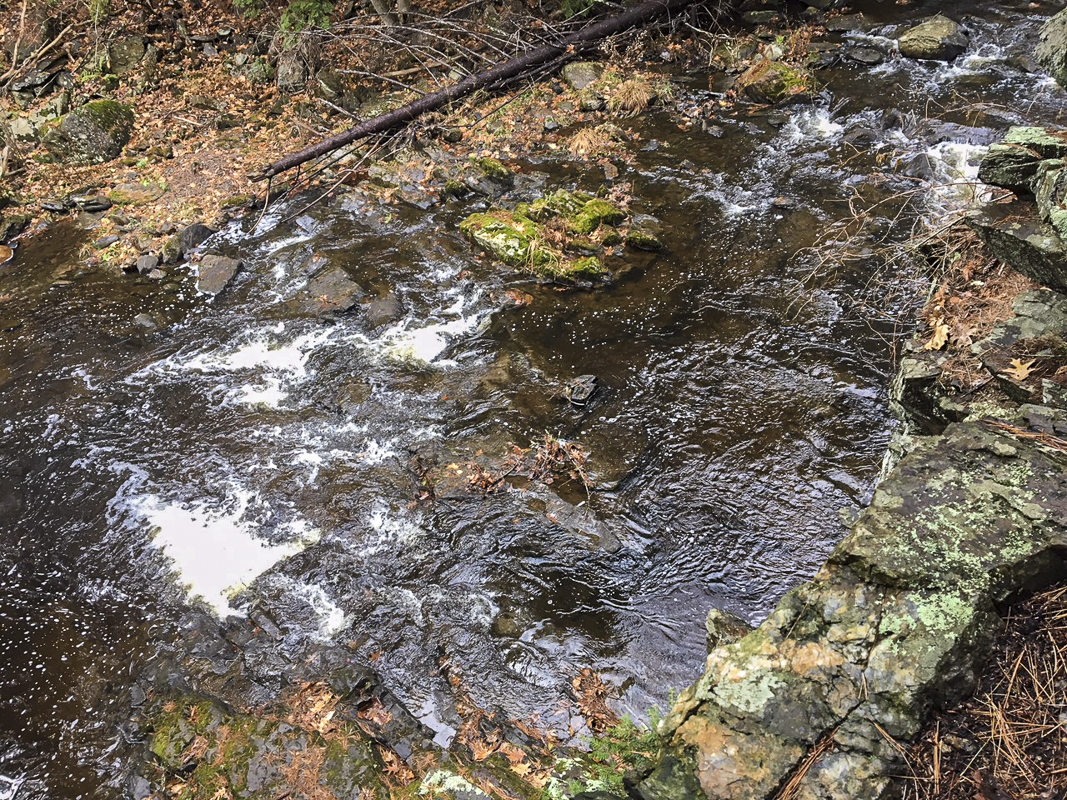
Sitting by the rapids serenaded by the river.
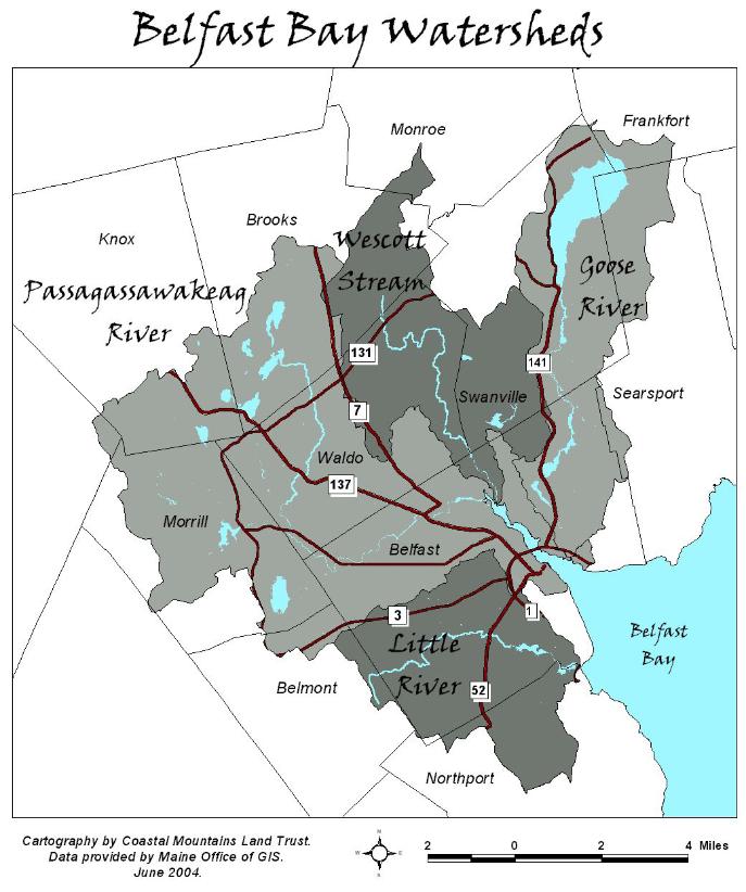
A five mile trail in Belfast that is a gem. Part of the Belfast Bay Watershed trail system that local treasure Skip Pendleton founded. Along with others, I have assumed Skip’s maintenance of this trail. Can’t fill his shoes but can walk in his footsteps. His spirit inspires and abounds. He was a great example of the positive impact one person can have on the environment and our quality of life at a time when we have so much struggle.
What action can each of us take? This is where it begins.” Bill Armstrong
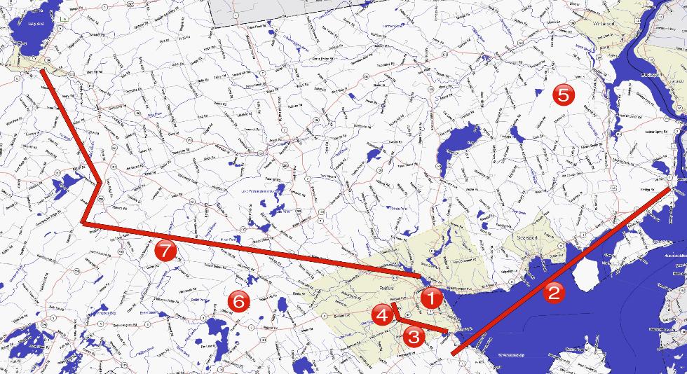
- Belfast In-Town Nature Trail map & guide 1
- Passagassawakeag Rail Trail map & geology guide 1 “Site of the Month” on the Maine Geological Survey website
- Birding the Coastal Corridor 2
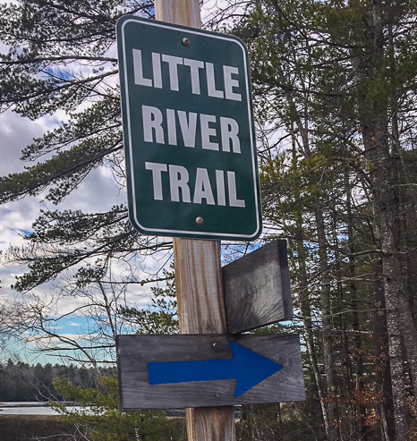
- Little River Trail guide 3 & 4
- Little River Trail map (link to MaineTrailFinder.com) 3 & 4
- Little River Trail birds 3
- Little River Trail plants 3
- Mount Waldo map 5
- Mount Waldo guide 5
- Davis Bog Preserve and Trail (Morrill) guide 6
- Hills to Sea Trail maps & guide 7
Map below maintained by the Waldo County Trails Coalition.
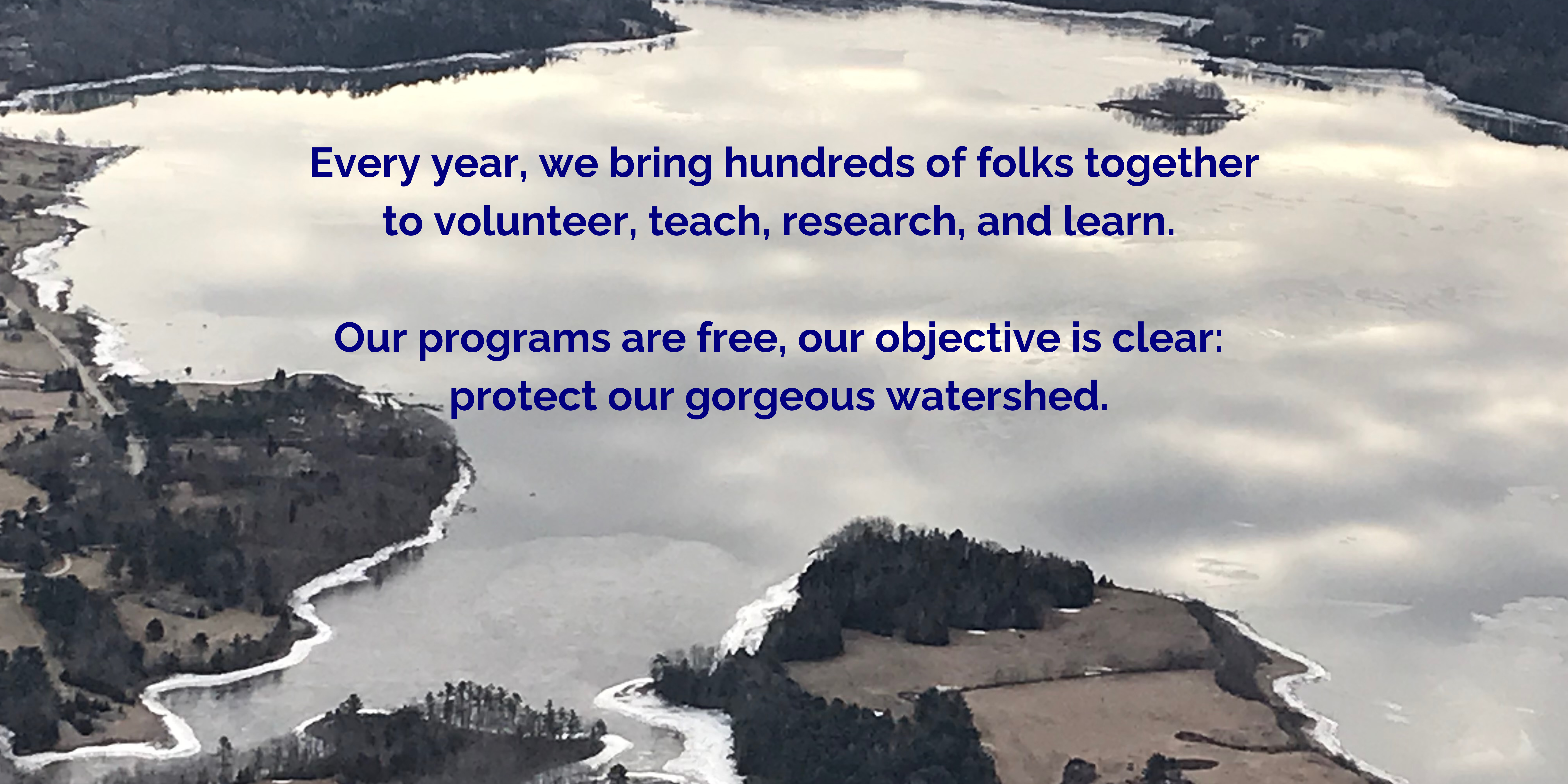
Belfast Bay Watershed Coalition, P.O. Box 152, Belfast, ME 04915
info@belfastbaywatershed.org